Mt. Gamila 2491m, in North Western Greece, October 2003
A group of Ioannina and Athens based hikers walked to the
top of Mt. Gamila on Saturday October 11 2003. The trek began and ended
at Mikro Papigo. There was
a Northern wind that Staturday and the visibility at
the top was amazing. One could see Mt. Olympus and the island of Corfu.

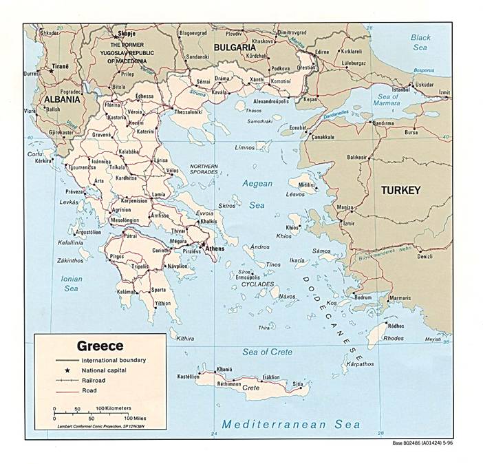
The approximate location of
Mt. Gamila in Greece


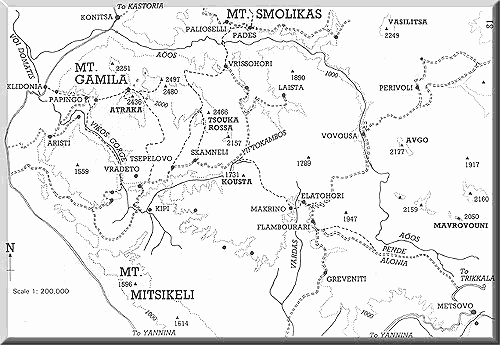
A more
detailed map of Mt. Gamila, our trek started from Papigo (red arrow), then we stopped at
the refuge (green arrow) and
ended up at the top of Mt. Gamila (blue arrow)
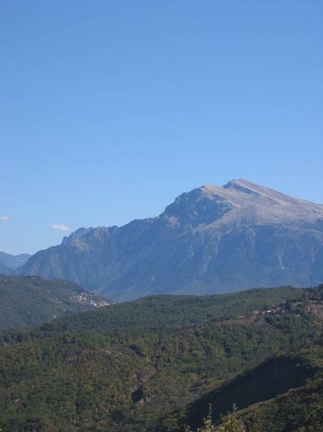
Mt. Gamila from far away, gamila=camel because of the two “humps”
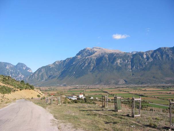
Another view of Mt. Gamila from far away
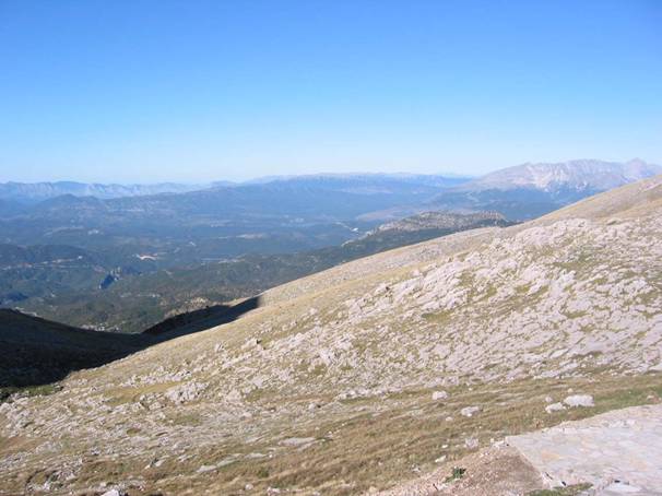
View from the refuge above
the village of Micro Papigo looking South
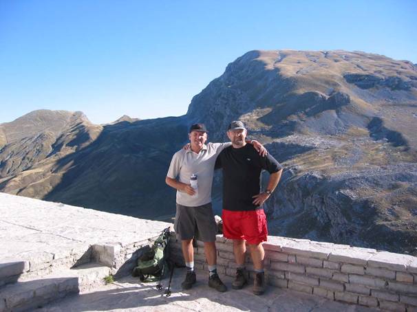
The two buddies (from left
K. Pantos, N. Galatsanos) at the refuge looking
North
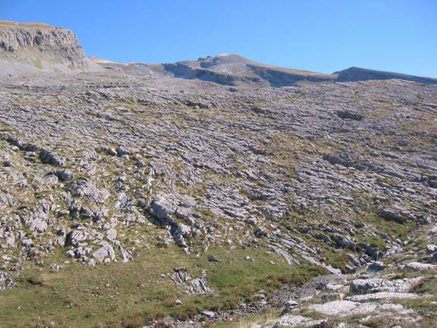
The final destination in the
horizon
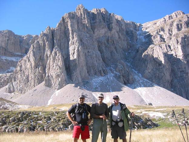
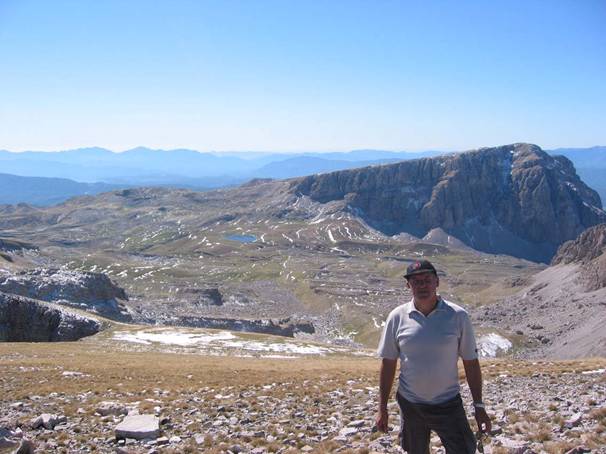
With Mt. Astraka in the back from left (N.
Galatsanos, S. Stylianidis and K. Pantos)
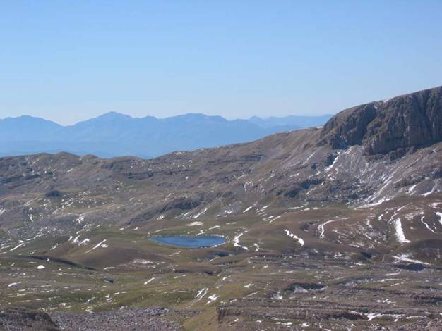
This little alpine lake is
at the plateau between Mt. Astraka
and Mt. Gamila
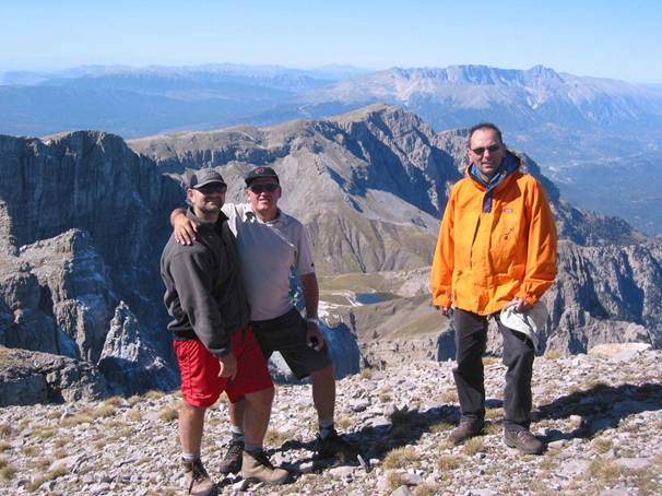
The usual suspects (from
left N. Galatsanos, K. Pantos, T. Apostolidis) at the
top of Mt. Gamila.
Drakolimni can be seen between them
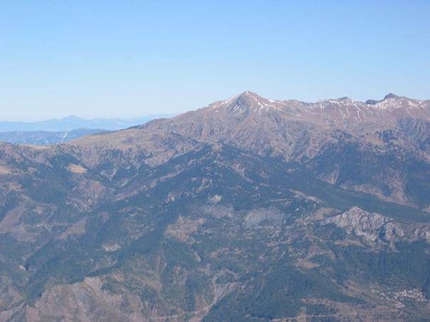
Mt. Smolikas
at 2,579m in the horizon as seen from the top of Mt. Gamila
A view of the adjacent
mountains from the top of Mt. Gamila
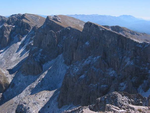
A southern view from the top
of Mt. Gamila, with Mt. Astraka in the near background
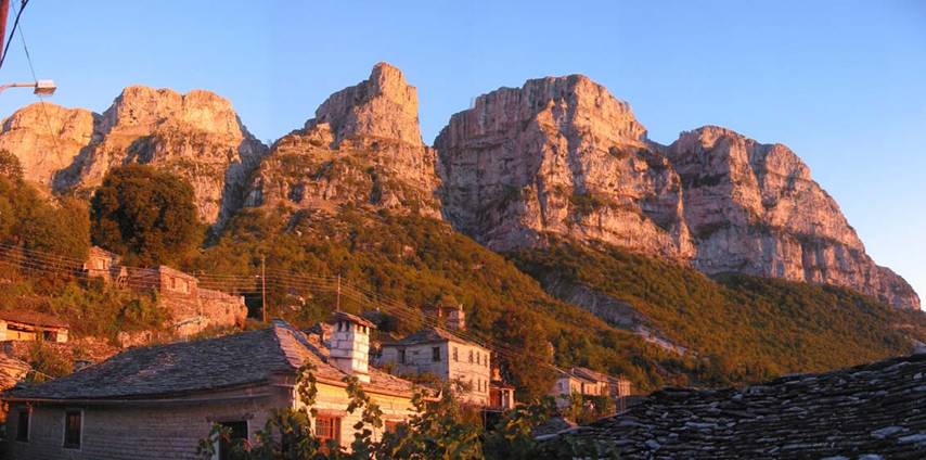
A view of the rocks above Mikro Papigo at dusk.